
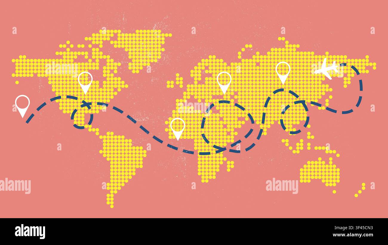
Travel planning map showing various destinations and routes across the world with marked points and a travel line
RFID:Image ID:3F45CN3
Image details
Contributor:
Sergey TolmachevImage ID:
3F45CN3File size:
53.4 MB (1.3 MB Compressed download)Releases:
Model - no | Property - noDo I need a release?Dimensions:
5760 x 3240 px | 48.8 x 27.4 cm | 19.2 x 10.8 inches | 300dpiDate taken:
27 July 2026More information:
Different travel points and routes across the world. Users can see marked places in North America, Europe, and Asia. Lines connect the locations for journey planning.

