
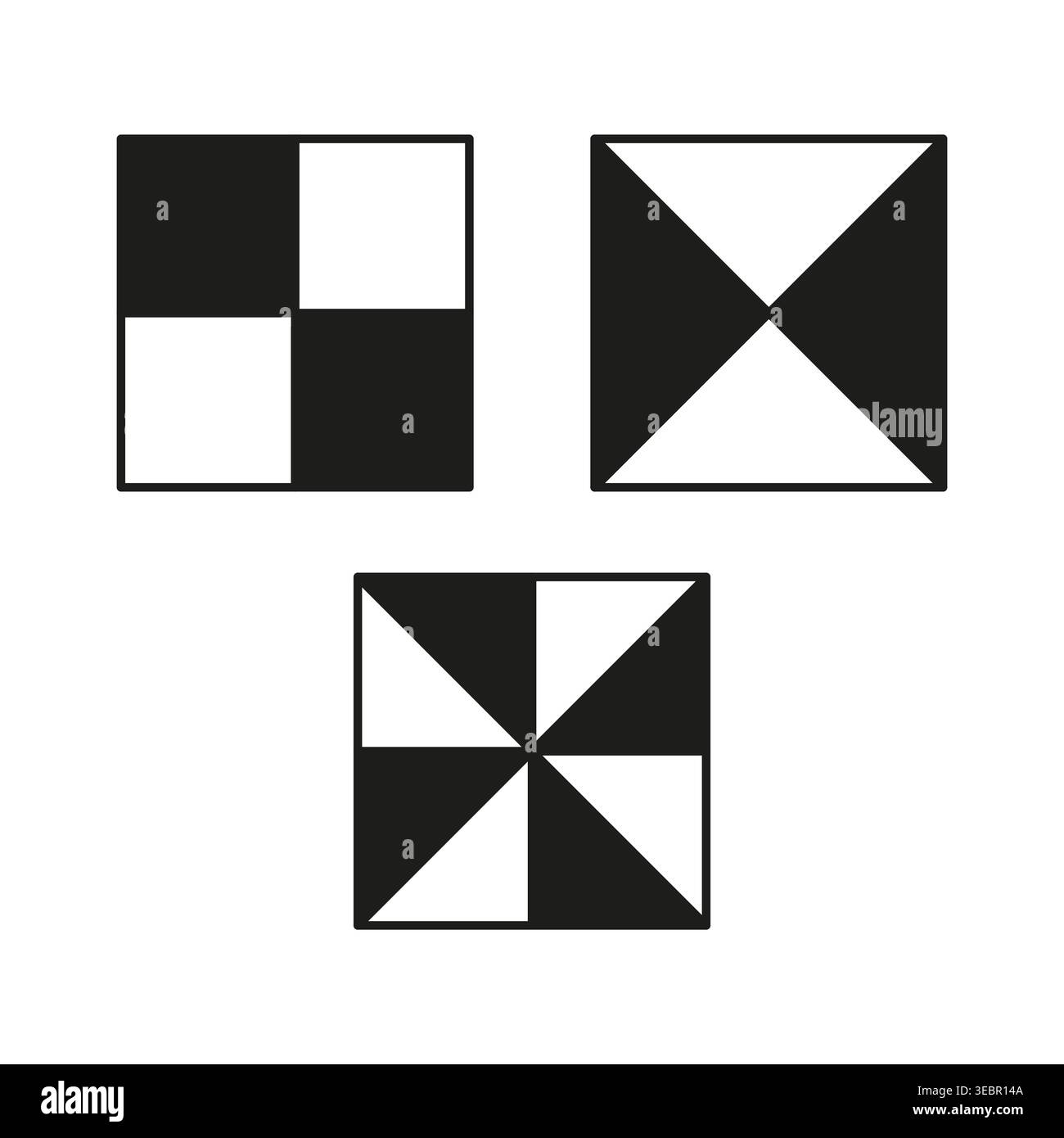
Surveying ground control point targets set vector. Use these markers for precise drone photogrammetry and mapping projects. EPS 10.
RFID:Image ID:3EBR14A
Image details
Contributor:
Tetiana KravchenkoImage ID:
3EBR14AReleases:
Model - no | Property - noDo I need a release?
