
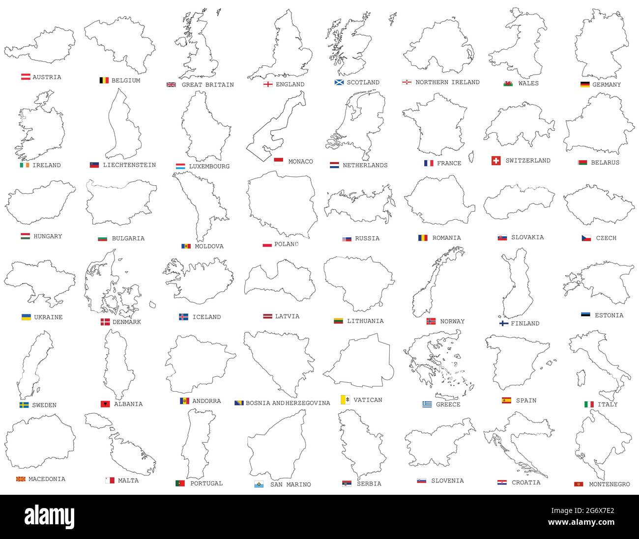
Big vector set of all Europe states, countries line, linear thin maps isolated on white background. High detailed editable illustration of Europe maps
RFID:Image ID:2G6X7E2
Image details
Contributor:
Oleksandr PaiosImage ID:
2G6X7E2Releases:
Model - no | Property - noDo I need a release?Date created:
6 July 2021More information:
Big vector set of all Europe states, countries line, linear thin maps isolated on white background. High detailed editable illustration of Europe maps. Maps of European countries with names and flags

