
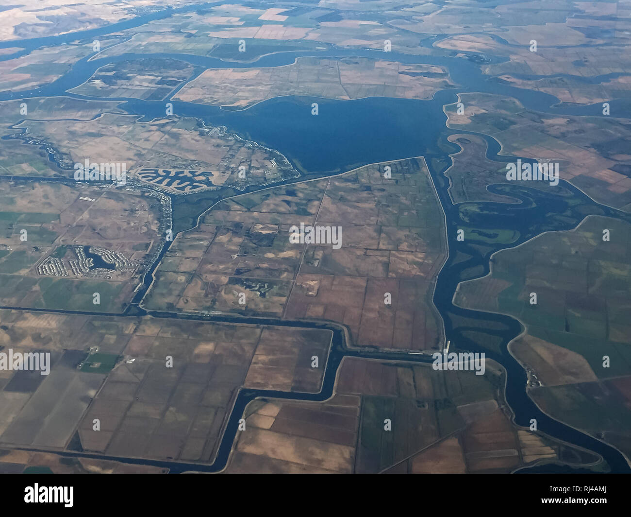
An aerial view shows the Sacramento-San Joaquin River Delta, a network of waterways, islands, and agricultural land in California, created to manage water resources and support agriculture.
RMID:Image ID:RJ4AMJ
Image details
Contributor:
Pete NiesenImage ID:
RJ4AMJFile size:
22.9 MB (693 KB Compressed download)Releases:
Model - no | Property - noDo I need a release?Dimensions:
3264 x 2448 px | 27.6 x 20.7 cm | 10.9 x 8.2 inches | 300dpiDate taken:
18 September 2017Location:
United States of America
