
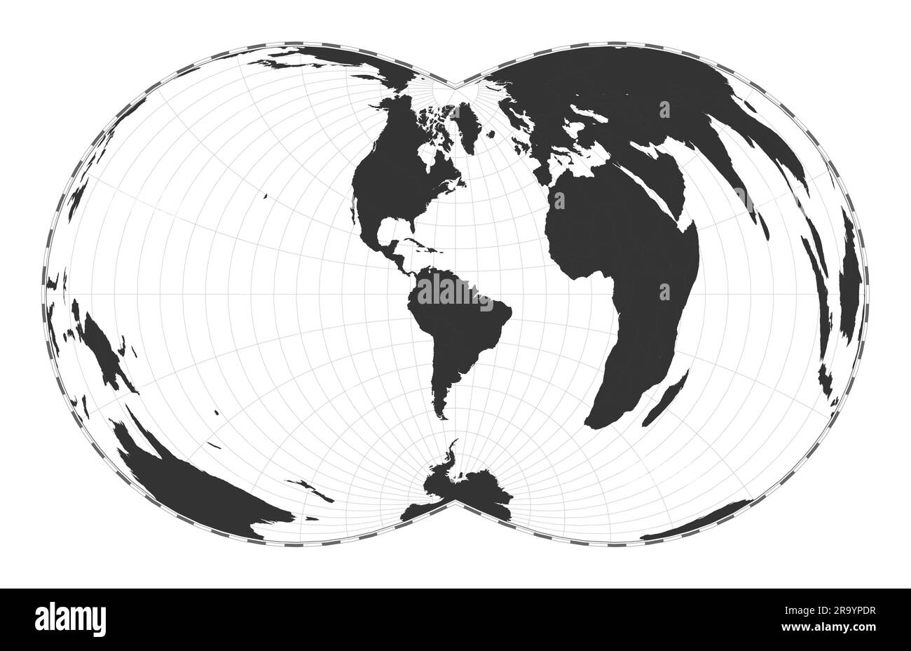
Vector world map. Rectangular (War Office) polyconic projection. Plain world geographical map with latitude and longitude lines.
RFID:Image ID:2R9YPDR
Image details
Contributor:
Eugene GaImage ID:
2R9YPDRReleases:
Model - no | Property - noDo I need a release?Date created:
30 October 2022Location:
WorldMore information:
Vector world map. Rectangular (War Office) polyconic projection. Plain world geographical map with latitude and longitude lines. Centered to 60deg E longitude. Vector illustration.

