
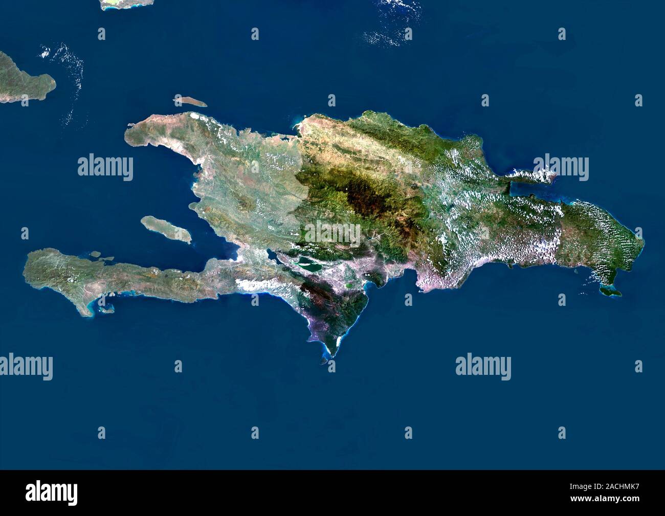
Hispaniola. Satellite image of the island of Hispaniola in the Caribbean Sea. North is at top. Hispaniola is divided into the Republic of Haiti to the
RMID:Image ID:2ACHMK7
Image details
Contributor:
Science Photo LibraryImage ID:
2ACHMK7File size:
50 MB (1.4 MB Compressed download)Releases:
Model - no | Property - noDo I need a release?Dimensions:
4969 x 3514 px | 42.1 x 29.8 cm | 16.6 x 11.7 inches | 300dpiDate taken:
17 September 2010Photographer:
PLANETOBSERVER/SCIENCE PHOTO LIBRARYMore information:
Hispaniola. Satellite image of the island of Hispaniola in the Caribbean Sea. North is at top. Hispaniola is divided into the Republic of Haiti to the west (lighter), and the Dominican Republic (darker) to the east. Composite image from Landsat 5 and 7 satellites.

