
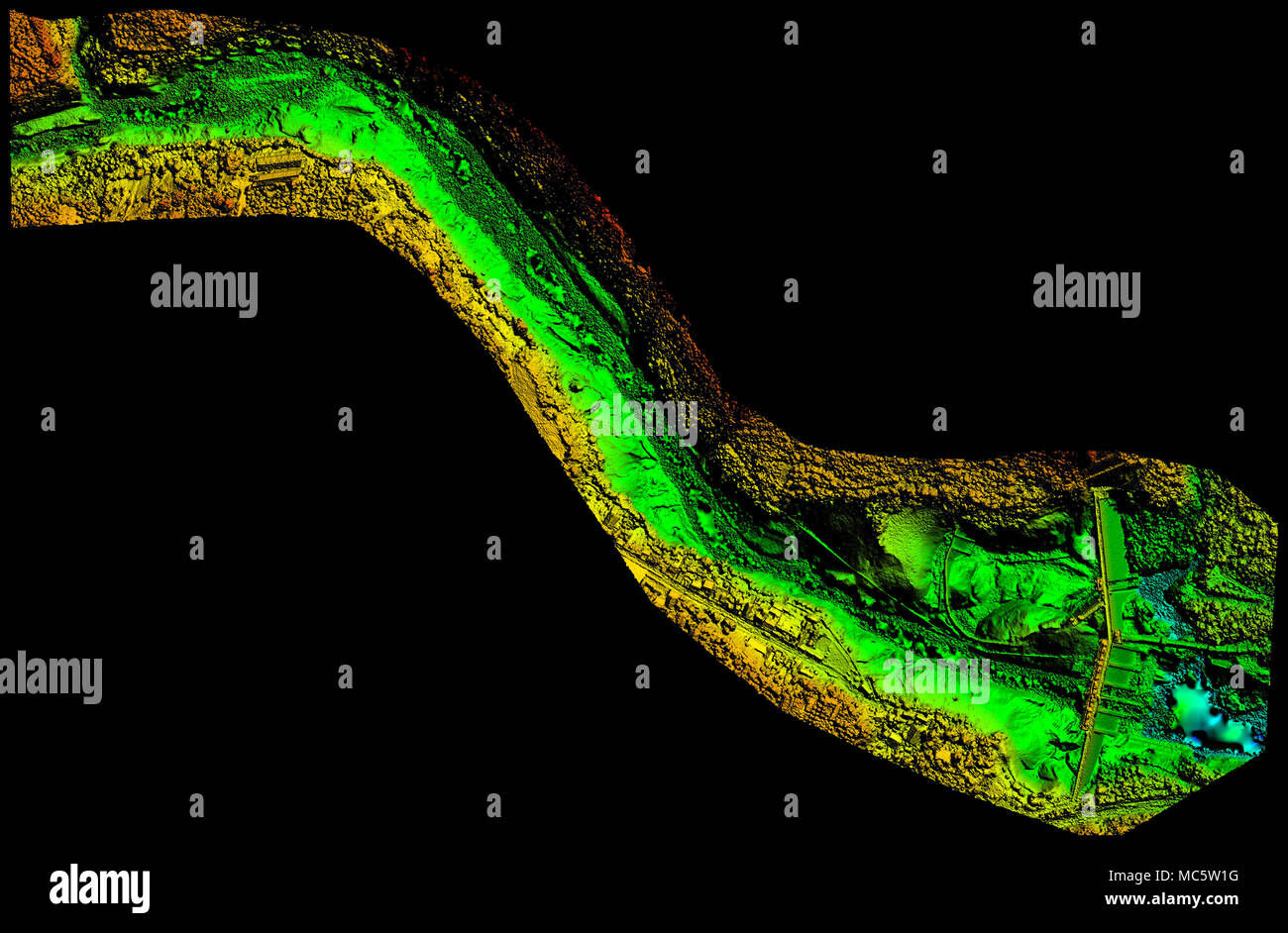
A 3D topographic scan visualizes a winding riverbed and adjacent landforms using color-coded elevation data. Bright green indicates lower elevations, while yellow and orange represent higher terrain
RFID:Image ID:MC5W1G
Image details
Contributor:
AmmitImage ID:
MC5W1GFile size:
46.9 MB (2.7 MB Compressed download)Releases:
Model - no | Property - noDo I need a release?Dimensions:
5000 x 3279 px | 42.3 x 27.8 cm | 16.7 x 10.9 inches | 300dpiDate taken:
16 March 2018
